Eller
GPS Coordinates: 39.9430809, -86.0491257
In the late 1800’s, a Quaker church occupied the land adjacent to this cemetery. The church and cemetery were referred to as West Liberty. As that part of Fishers, was at one time its own separate town. Today, most genealogy websites refer to it as the Eller Cemetery; as a majority of the Eller family is buried there. Cheeney Creek runs along the southern edge of the property and makes an oxbow below a small hill, where this old landlocked cemetery is located. There are 38 people interred at Eller cemetery including 1 civil war soldier—James A. Payne of Co. E, 39th Indiana Infantry regiment.
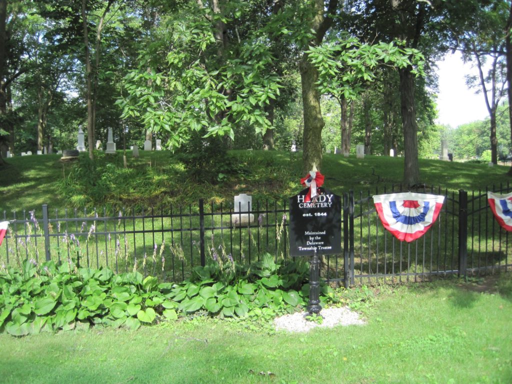
Heady
GPS Coordinates: 39.9641000, -86.0330450
Around 1823, James Heady settled much of the area between Big Branch (just north of 126th Street) and the south boundary of Section 36 (116th Street). In fact, credit must be given to James’ wife Dorothy, since James died soon after bringing his family of eleven children to Delaware Township from Massachusetts. To quote Georgianne Neal of the Noblesville Ledger:
“Dorothy Heady, a native of Massachusetts, was evidently a pioneer woman of legendary determination. With her children, eleven in all, she stayed in Delaware Township and farmed. She is shown entering land in county records for the year, 1827, the first of several entries. Later census records show taxable property sufficient for Dorothy Heady to have been considered a woman of means.”
After James Heady died, Dorothy bought 80 acres from the government and encouraged her children to do likewise. Soon there was a total of 750 acres belonging to members of the Heady family and another 322 acres belonging to those who were married to the Heady girls—a total of 1072 acres in Delaware Township. (Heady Hollow: Haunted or Not? By Tom Britt, September 30, 2006)
There are approximately 101 people interred at Heady cemetery including Charles Wesley Heady who served as Delaware Township Trustee on several occasions and 3 civil war soldiers—Frances M. Heady, James C. Redwine, and Henry C. Redwine.
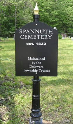
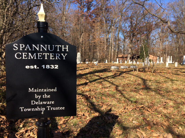
Spannuth
GPS Coordinates: 39.9937170, -86.0210450
There are approximately 100 people interred at Spannuth cemetery (also known as Weaver cemetery) including 6 civil war soldiers—Henry J Crossley, David Mullinex, and Robert Spoore. The oldest known grave in the township (Joshua A. Burgett 6/1787–3/1819) is located in the cemetery. Also interred at Spannuth cemetery is James Benjamin Garrison, who served as chief of Noblesville fire department for seventeen years. The deceased was a leader in this work, being among the first to reach all of the fires. His interest in the protection of the city against flames resulted in him being appointed chief of the fire department when the first horse drawn wagon was purchased by the city. He was also in charge of the department when the first auto fire truck was purchased by the Council.